


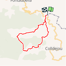


6.7 km | 10.6 km-effort

User


FREE GPS app for hiking
 SityTrail
IGN / Geographical institutes
SityTrail World
The world is yours!
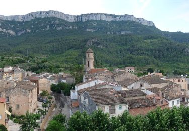
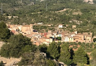
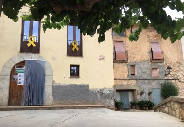
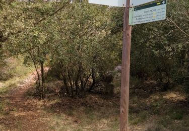
Trail Walking of 7.7 km to be discovered at Catalonia, Tarragona, la Torre de Fontaubella. This trail is proposed by emoreau.
aller sentier de montagne escarpé retour par des pentes moins raides.


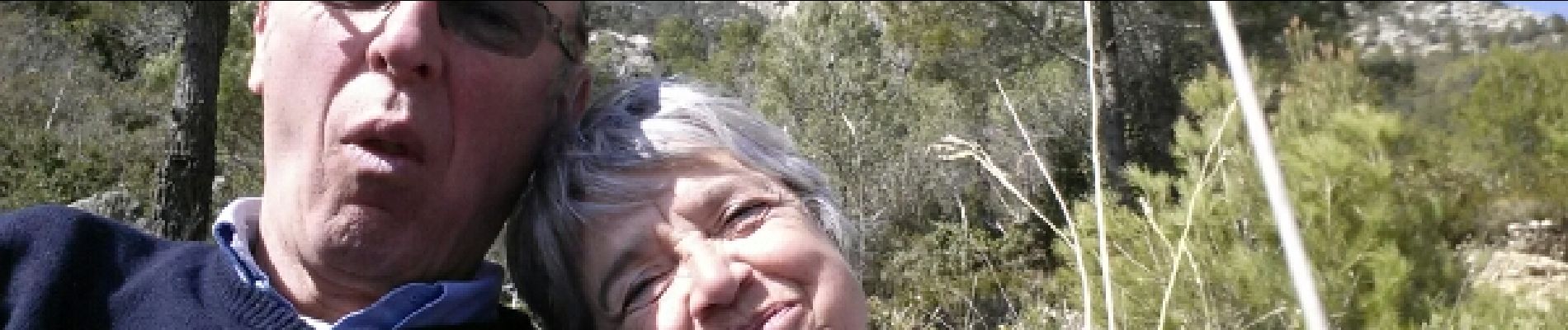
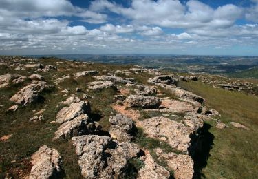
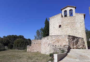
23 photos in total. Please click on a photo to see them all in the gallery.
On foot
On foot
On foot
On foot
On foot
Walking

On foot

Walking